Bringing your phone to the mountains these days is almost second nature. Technology is incredibly helpful for planning, navigating, or understanding the terrain ahead before you even leave the city.
We know that the best app will always depend on the destination you choose, but there are essential tools that work very well in Argentina and the region. If you're getting ready forto explorenature, here we share three of our favorites:
The 3 key apps for your phone
1. Gaia GPS (Navigation and offline maps)
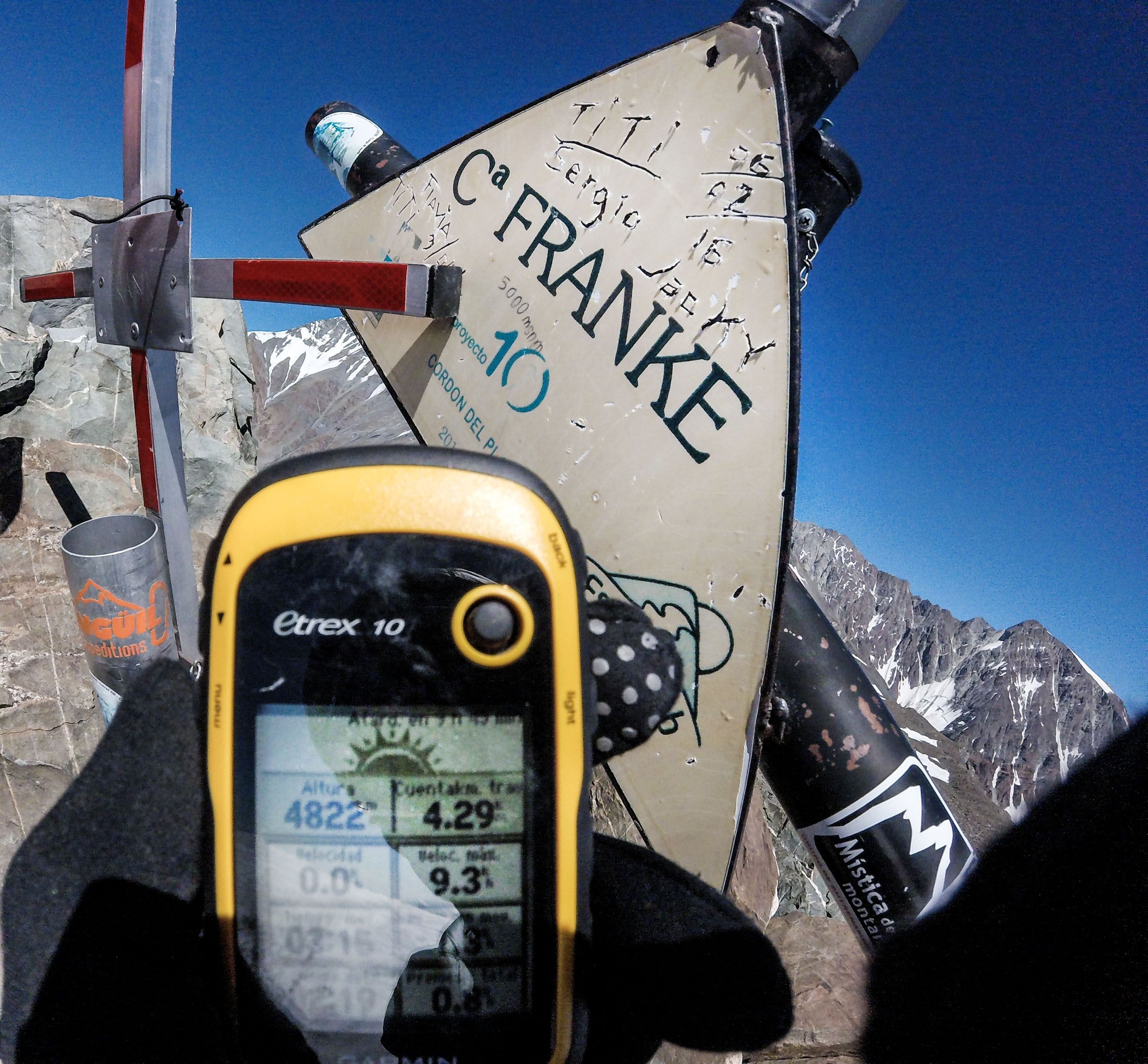
It's an incredibly comprehensive tool for plotting and following trails. Its best feature is the ability to download very detailed topographic maps to use them offline, something vital because there's almost never cell service in the mountains. It lets you record your routes, see the exact altimetry, and plan your hike with great precision to avoid surprises whenascend
2. PeakVisor (3D Recognition)
Have you ever looked into the distance and wondered what that snow-capped peak is called? If you travel with us, just point and askWhich one is that one over there?is enough, we're sure we know the answer 😉. But if you're planning on your own, you'll find this app fascinating. Its main advantage is the three-dimensional topographic maps: no longer do you have to settle for seeing flat terrain; it allows you to plan the route seeing the surrounding peaks with incredible precision. The main disadvantage? You need internet to use it, and getting a signal isn't always possible.
3. Windguru (Weather and wind)
Going to the mountains without thoroughly checking the weather is a risk not worth taking. Weather conditions can change very quickly, and a sunny day can end in a downpour or dangerous gusts. We recommend this app because it gives you a technical and very precise forecast of wind speed, cloud cover, and temperatures. Anticipating the weather will help you better assess if it's a good day tolivethe mountain and what gear you'll need to carry in your backpack.
The limit of screens: Why technology isn't enough
Apps are great for planning from home, but in the field, technology has a very clear limit. With extreme cold, batteries die in minutes, touchscreens don't respond well, and equipment can fail.
That's why the golden rule we always share is:Travel with a guide, or at least, with someone who knows the place perfectly.
Let's be realistic: an app can't evaluate if the shape of a cloud means you need to turn back immediately. A GPS can't give you first aid, nor will it notice if your body needs to stop to avoid altitude sickness. Technology puts you on the map, but it doesn't manage risk.
Truly disconnect: We'll handle the GPS
At MONS Mountain Activities, we don't just know the routes by heart. Our team is ready to manage environmental risks, adjust the intensity of the trek based on your fitness level, ensure your safety at all times, and bring the best energy to make your experience unforgettable. At the end of the day, the only thing that remains is the memory of what we've lived.
We want you to come to the mountains to disconnect from urban stress and enjoy the landscape, without having to walk with your head buried in a screen. We'll take care of the logistics, navigation, and your well-being.